GeoMol: Assessing subsurface potentials of the Alpine Foreland Basins for sustainable planning and use of natural resources
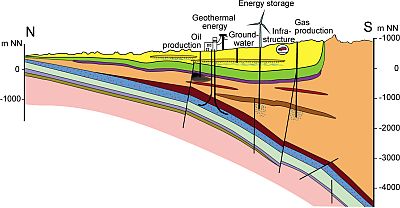
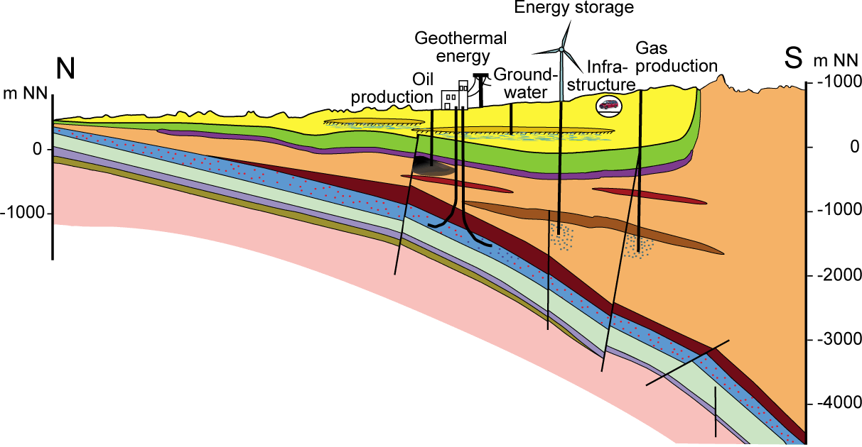
The deep subsurface of the Alpine Foreland Basins bears a multitude of natural resources and storage capacity, so-called geo-potentials, which can be made available for the boost and sustainable management of green energies: The more than 5000 m deep Molasse basins at the fringe of the Alpine mountain range offer an abundant geothermal potential and storage capacity for grid energy, gas or CO2. Exploiting these geo-potentials will strongly compete with existing oil and gas claims and groundwater issues. Thus, the evaluation of geo-potentials requires a holistic and transnational approach considering also geological hazards such as seismicity, as well as the assessment of the impact of utilisation and their mutual interference, especially in highly populated areas.
Within the framework of the transnational project GeoMol, funded by the Alpine Space Programme 2007-2013, as a part of the "European Territorial Cooperation" from September 2012 to June 2015, partners from Austria, France, Germany, Italy, Slovenia and Switzerland prepared data on the geological structures of the Molasse and Po Basins in order to serve transnational decision-making and to make them available also to the interested public. GeoMol provides consistent 3-dimensional subsurface information based on coherent evaluation methods and commonly developed criteria and guidelines. Enhancing the common knowledge of the subsurface in the Alpine Foreland Basins helps to boost homemade, decentralised green energy by exploiting geo-potentials and using subsurface storage capacities. It also improves the geological and structural knowledge of the basins and supports the seismic hazard assessment especially of the Po Plain.
For further information on the objectives, scope and fields of activity of GeoMol please refer to the presentations of the GeoMol Events.


 GeoMol is funded by the